The Baltic Sea and its coast are an interesting place saturated with memories of the Vikings, pacifying with its northern landscapes. It differs from other seas in the nature of the relief, temperature and features of the coastline. The Baltic has great historical and geopolitical significance for Russia.
Geographical position
The Baltic Sea on the map is located in the north of Europe and belongs to the Atlantic basin. It is limited to 54 ° 46 ′ and 65 ° 56 ′ north latitude and 9 ° 57 ′ and 30 ° 00 ′ east longitude. The extreme points that the Baltic Sea has on the map: near the Arctic Circle in the north, near Wismar in the south, the eastern one is near St. Petersburg and the western extreme point is in the Flensburg area.
Relief and depth
The bottom relief has insignificant differences from the coastlines that border the Baltic Sea. Depths, in turn, also depend on the nature of the adjacent territory. The southern side of the sea, belonging to Germany, Poland and Denmark, is flat, flat, with sandy beaches. The rocky coast and uneven rocky bottom are in the northern part. The depth and relief of the Baltic Sea are different in different areas. The bottom has a very complex dissected surface. There are hollows that distinguish between the hills and foundations of the islands, which includes the Baltic Sea.
Depths in other places are shallow. For example, there are areas of pronounced accumulative relief - these are shallow Gulfs of Finland, Riga and Bothnia.
So, the Baltic Sea has a depth of less than 200 meters. The Landsort basin is different. The maximum depth of the Baltic Sea is in this section and is about 470 meters. The Landsort Depression stretches southwest. The rest are of shallower depth: Gotland - 249 m and Gdansk - 116 m in the central part of the sea, Arkonskaya - 53 m and Bornholm - 105 m (in the western part).
Sea bays and straits
Belongs to the inland seas. In the southwest it adjoins the North Sea through the Danish straits (Small and Big Belt, Sound), Skagerrak and Kattegat.
In the east is the Gulf of Riga between Estonia and Latvia. The Estonian skeleton of Saaremaa partially separates the bay from the rest of the sea. There are still large Gulfs of Finland and Bothnia
Neva Bay is the eastern section of the Gulf of Finland. At a distance of about 50 km from St. Petersburg is the island of Kotlin, on which the city of Kronstadt is built. The dam connects the island city and St. Petersburg, the highway is laid along the dam, so that people have the opportunity to get to the mainland and back by car.
In the northeastern part, where the border of Russia and Finland passes, the Gulf of Finland is connected to the Vyborg Bay. There, the Saimaa Canal, leased by Finland, originates. It serves as a transport route, and is also popular with tourists in warm weather. Guests come here for the beauty of the landscape, and for duty-free shopping.
Coast
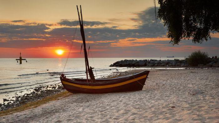
The coast of the Baltic Sea is diverse. In Latvia, accumulation-type shores formed as a result of sand accumulation on the coasts. The lagoon coast, formed by the bay and separated from the sea by a narrow scythe, is located near Kaliningrad. Flattened coasts border most of the sea, in particular, belong to Poland. And they are formed under the influence of prevailing winds and coastal currents. Fjords are narrow and deep sea bays with towering steep and rocky shores that surround the sea from the north. They are formed by the flooding of tectonic faults and river valleys. The skerry coast appeared as a result of flooding of territories with smoothed glaciers, composed of crystalline rocks. These hills protrude above the surface of the sea in the form of many skerry islands with traces of glacial activity.
The following countries have access to the Baltic Sea - Russia, Latvia, Estonia, Lithuania, Germany, Poland, Sweden, Denmark, Finland. After the collapse of the USSR, Russia had a small segment of the coast, only 7%, instead of the previous 25%, which brings annual losses to the state. Therefore, one port was laid in Primorsk near Vyborg, which will specialize in coal and dry cargo. And the second port is in the Luga Bay, it will be oil loading.
Tectonic processes
The Baltic Sea continues to change to this day. It has shallow depths compared to other parts of the Atlantic Ocean. Actually, this vast reservoir for its existence several times became a lake and again the sea due to tectonic processes.
Currently, the next stage is the separation of the sea from the ocean and turning it into a fresh lake. It is characterized by the rise of the bottom of the Gulf of Bothnia over the year by several centimeters and the flooding of the southern coasts. Such processes create the need for northern ports to lengthen marinas. Mounds are made to save the low parts of the coast.
Temperature layers
In turn, the temperature of the Baltic Sea also depends on depth. The predominant part of the waters of a huge reservoir can be divided into surface, transitional and deep water masses.
The surface layer is from 0 to 20 meters, in places from 0 to 90 meters with a temperature of 0 to 20 degrees. It is formed as a result of the interaction of the sea with the atmosphere and waters flowing from the mainland. The temperature of the Baltic Sea in this layer varies with the time of year. In summer, cold intermediate water masses are more pronounced, formed in connection with a significant warming of the sea surface.
The deep layer (bottom and 50-60 meters above it) has a temperature of 1 to 15 degrees. This layer is formed by the flow of water through the Small and Big Belt straits and their mixing.
The transitional layer includes water at a depth of 20-60 to 90-100 meters. They have a temperature of 2-6 degrees, are formed by a mixture of deep and surface water.
Features of water temperature in the Baltic Sea
Some areas of the sea are distinguished by the peculiarities of the structure of the waters. So, the Bornholm region has a warm layer (7-11 degrees) both in summer and in winter. It is formed by warm waters coming here from the more heated Arkon basin. Due to the shallow depth of the sea and the horizontal movement of water, there is no cold intermediate layer in it.
Seasonal temperature change
In winter, in the open sea, the water temperature is higher than off the coast, while it differs along the western and eastern coasts. In February, the temperature is 0.7 degrees near Ventspils, in the open sea of the same latitude - about 2 degrees, near the west coast - 1 degree.
In summer, surface waters in different parts of the sea also differ in temperature. Prevailing westerly winds drive surface water masses off the west coast. The underlying cold water rises to the surface. As a result of this phenomenon, the temperature decreases in the southern and central regions, as well as along the western coasts. In addition, south along the coast of Sweden there is a cold current from the Gulf of Bothnia.
Seasonal fluctuations in water temperature are pronounced only in the upper 50-60 meters, deeper indicators vary slightly. There are no changes in temperature during the cold, but with an increase in depth, the indicators slightly decrease. In warm time, the water temperature rises to horizons of 20-30 meters due to mixing. Even in the summer, when the surface layer of water is warmed up, and the thermocline is expressed more sharply than in the spring, the cold intermediate layer remains.
Depth, topography and other features of the Baltic Sea depend on many factors. This is a geographical location, located in the northern latitudes, as well as placement on a continental plate.