Bureya is a river in the Russian Far East. It is quite long - stretches for more than 500 kilometers. This river is interesting both geographically and historically. Here the parking lot of ancient people was found, gold was mined. In the upper reaches, alloys are conducted along it, there is also a hydroelectric power station and a reservoir.
General information
Where is the Bureya River located? The river bed passes through the lands of two constituent entities of the Russian Federation - the Khabarovsk Territory and the Amur Region. The mouth of the Bureya River is located on the Amur River (this is its left tributary). The Amur River, flowing along the border between Russia and China, in turn flows into the Pacific Ocean. Thus, one can easily answer the question of which basin of the ocean the Bureya River belongs to.
And its source is the confluence of two rivers of the same name - the Left and Right Bureys. The sources of the rivers, the confluence of which forms the beginning of the Bureya, are, respectively, in the mountain ranges of Aesop and Dusse-Alin.
The total length of the river is approximately 0.623 thousand kilometers, and if you count along with the length of the Right Bureya (from its source), then 0.739 thousand kilometers. The area of the Bureya basin is 70.7 thousand square kilometers.
Hydrological characteristic
The main left tributaries are such rivers as the river. Tyrma and p. Urgal, and the main right tributaries - such as p. Tuyun and r. Nyman
Water consumption (measurements near the village of Kamenka) is 0.89 thousand cubic meters per second, and in high water this figure can grow to 18 thousand cubic meters per second.
The greatest contribution to the nutrition of the river is made by rainwater, due to which, in three summer months, there are several floods (up to seven). During these periods, river water levels may rise by ten meters. Cupid, Bureya and Zeya are rivers with summer floods.
River name
The most common assumption is that the river got its name from the Evenki word Birai, which means big, huge.
The Bureya River in history is also known as Bystraya (Amur Cossack campaigns of the seventeenth century).
Interesting features
- The Bureya River basin is extremely rich in lakes. Hydrologists within this territory number about one and a half thousand lakes, the total area of which is more than fifty square kilometers. A significant part of the lakes are glacial. The most famous lake. Karbohon, Lake Bear Lake Mountain.
- The river flowing region is rich in deposits of both iron ore and coal reserves.
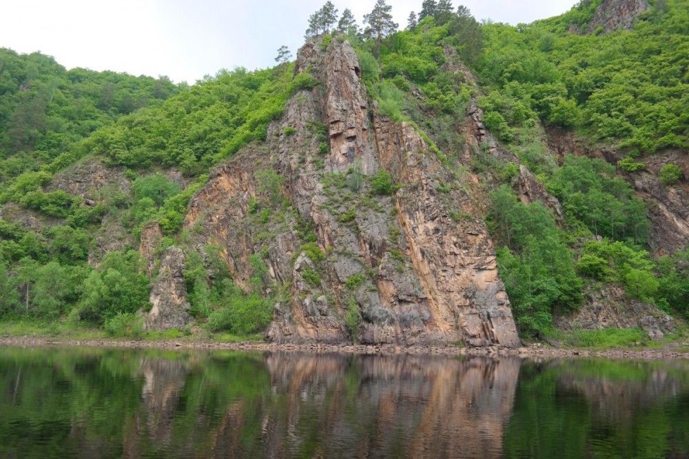
- In the upper river. The storm-storm displays the character of a mountain river, and in the lower and middle parts it is flat. In the upper reaches there is a very fast current, an average of three and a half meters per second.
- The lesser known name of the river is Burkhanovka. It is associated with the rare religion of Burkhanism.
- Gold was mined at the head of the river. The first lots of gold were mined in the seventies of the nineteenth century.
- On the banks of the Bureya River, a site of ancient people was found, according to the time period belonging to the era of the early Neolithic. Archaeologists found the objects found to be part of the Grogatukha culture, which became widespread in the XI-XIV millennia BC.
In the river basin there is a sanatorium bearing the romantic name "White Mountains". Extreme tourists in the river basin will find both routes for light rafting (in the area of Bureya itself), and rafting routes of increased complexity (in the region of its tributaries).
Hydroelectric power stations
A hydroelectric power station of the same name (Bureyskaya hydroelectric power station) was built on the Bureya River, and a second one is being built, which is called the Nizhnebureyskaya hydroelectric power station.
The dam of the Bureisk hydroelectric power station, blocking the Bureya current near the village of Talakan, formed a significant Bureisk reservoir. Its width is five kilometers, with a length of 254 kilometers. Its area is 750 square kilometers, and the volume reaches 21 cubic kilometers. During the construction of the Nizhnebureyskaya hydroelectric power station, the Nizhnebureyskoe reservoir is also planned, which will be located near the village of Novobureysky.
Reserve and reserve
In the Bureya basin, the reserve of the same name is located. It occupies 358 thousand hectares in the upper river. Dublikansky Nature Reserve is also nearby.
Animal and plant world
The plant world is represented mainly by conifers. There are several species of fir, spruce, cedar (including dwarf pine), and many other plants. Such a rare plant as the Daurian rhododendron is also found here, it is a shrub with beautiful pink flowers (in Russia it was nicknamed Ledum).
Among animals, the most widespread species are elk, musk deer, roe deer, capercaillie, wild grouse, hazel grouse and many others. Among the predatory and omnivorous species, one can note a bear, a wolf, a lynx, a sable, and so on.
The ichthyofauna of the river is rather poor. Among the available fish, it is possible to note, first of all, grayling, which makes it possible to live and breed freely in the clear waters of Bureya.